
Dosiye:Iran location map.svg

Size of this PNG preview of this SVG file: pixels 672 × 600. Ubundi bwaguke: pixels 269 × 240 | pixels 538 × 480 | pixels 861 × 768 | pixels 1.147 × 1.024 | pixels 2.295 × 2.048 | pixels 1.200 × 1.071.
Dosiye nkomoko (SVG file, nominally 1.200 × 1.071 pixels, file size: 299 KB)
Incamake
| Umwidondoro |
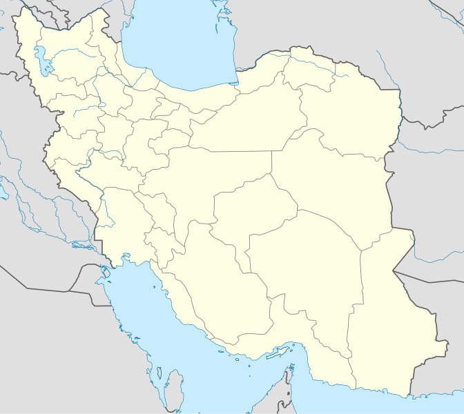
English: Location map of Iran.
Equirectangular projection. Stretched by 118.0%. Geographic limits of the map: * N: 40.0° N * S: 24.5° N * W: 43.5° E * E: 64.0° EMade with Natural Earth. Free vector and raster map data @ naturalearthdata.com. |
| Igenekerezo | |
| Inkomoko | Igikorwa cisangije |
| Umwanditsi | Uwe Dedering |
| Other versions |
Derivative works of this file:
|
| SVG genesis | This W3C-invalid map was created with Adobe Illustrator, and with Inkscape. |

Uburenganzira
I, the copyright holder of this work, hereby publish it under the following licenses:
Iyi dosiye yemewe kuri Creative Commons Attribution-Share Alike 3.0 Unported license.
- Uridegemvya:
- gusangiza – mukwimura, kwiragiza wongere utange igikorwa
- guhinyanyura – kujanisha igikorwa
- Ku mategeko akurikira:
- umurimo – Utegerezwa gutanga inkuru injanye, tanga umurongo ku ruhushya, kandi erekana ko habaye impinduka. Urashobora kubikora muburyo ubwo aribwo bwose busiguritse, ariko atari mu buryo ubwo aribwo bwose bwerekana ko uwatanze uburenganzira agushigikiye canke ashigikiye ibikoresho vyawe.
- Imigabane ingana – Mugihe uhinyanyuye, uhinduye, canke wisunze iki gikorwa, utegerezwa gutanga intererano zawe kuri same or compatible license kumwe n'igikorwa c'inkomoko.

|
Hatanzwe uruhusha rwo kwimura, gukwiragiza canke guhinyanyura ibi vyandiko hakoreshejwe uruhusha rwa GNU Free Documentation License, Umuce wa 1.2 canke umuce uwariwo wose washizeho inyuma ya Free Software Foundation; ata gice ntahinduka, ata majambo y'urupapuro rw'intango canke rw'iherezo. Kwimuru uruhusha biri mu muce witwa GNU Free Documentation License. |
Ushobora gucagura uruhusha ushaka.
Amateka ya dosiye
Fyonda kw'igenekerezo/isaha kugirango urabe dosiye nkuko yagaragaye uwo mwanya.
| Igenekerezo/Isaha | Iparati | Uburinganire | Uwukoresha | Insiguro | |
|---|---|---|---|---|---|
| muri iki gihe | 07:59, 22 Gitugutu 2013 | | 1.200 × 1.071 (299 KB) | NordNordWest | Reverted to version as of 17:55, 15 April 2013; no reason for change given |
| 13:44, 21 Gitugutu 2013 |  | 1.200 × 1.071 (640 KB) | Ekivalan | Reverted to version as of 17:38, 12 April 2013 | |
| 13:43, 21 Gitugutu 2013 |  | 1.200 × 1.071 (640 KB) | Ekivalan | Reverted to version as of 17:38, 12 April 2013 | |
| 17:55, 15 Ndamukiza 2013 |  | 1.200 × 1.071 (299 KB) | NordNordWest | according to http://images.persianblog.ir/516041_B0b76ypr.jpg + Tabas -> South Khorasan province | |
| 17:40, 12 Ndamukiza 2013 |  | 1.200 × 1.071 (640 KB) | Yamaha5 | Reverted to version as of 20:08, 11 July 2010 | |
| 17:38, 12 Ndamukiza 2013 |  | 1.200 × 1.071 (640 KB) | Yamaha5 | Reverted to version as of 20:08, 11 July 2010 in all maps khorasan is like past! | |
| 11:30, 17 Ntwarante 2013 |  | 1.200 × 1.071 (294 KB) | NordNordWest | upd | |
| 20:08, 11 Mukakaro 2010 |  | 1.200 × 1.071 (640 KB) | Uwe Dedering | 31. province Alborz | |
| 17:44, 18 Ruhuhuma 2010 |  | 1.200 × 1.071 (705 KB) | Uwe Dedering | Bahrain above water, no disputed countries | |
| 13:00, 18 Ruhuhuma 2010 |  | 1.200 × 1.071 (709 KB) | Uwe Dedering | {{Information |Description={{en|1=Location map of Iran. Equirectangular projection. Strechted by 118.0%. Geographic limits of the map: * N: 40.0° N * S: 24.5° N * W: 43.5° E * E: 64.0° E Made with Natural Earth. Free vector and raster map data @ |
Ikoreshwa rya dosiye
Urupapuro rukurikira rukoresha iyi dosiye:
Ikoreshwa rya dosiye muri rusangi
Izindi wiki zikurikira zikoresha iyi dosiye:
- Ikoreshwa kuri af.wikipedia.org
- Ikoreshwa kuri als.wikipedia.org
- Ikoreshwa kuri an.wikipedia.org
- Ikoreshwa kuri ar.wikipedia.org
- محمد بن إسماعيل البخاري
- طهران
- صحيح مسلم
- محافظات إيران
- فخر الدين الرازي
- كأس آسيا 1968
- كأس آسيا 1976
- مسلم بن الحجاج
- قالب:خريطة مواقع إیران
- مشهد
- زلزال بم 2003
- تفجيرات زاهدان 2010
- زلزال طبس 1978
- بطولة آسيا للناشئين تحت 16 عاما 2012
- قائمة المفكرين المسيحيين في العلم
- مرتضى الأنصاري
- زلزال تبريز 2012
- شعيطة (رامشير)
Raba ikoresha muri rusangi ry'ino dosiye.